|
BRIEF
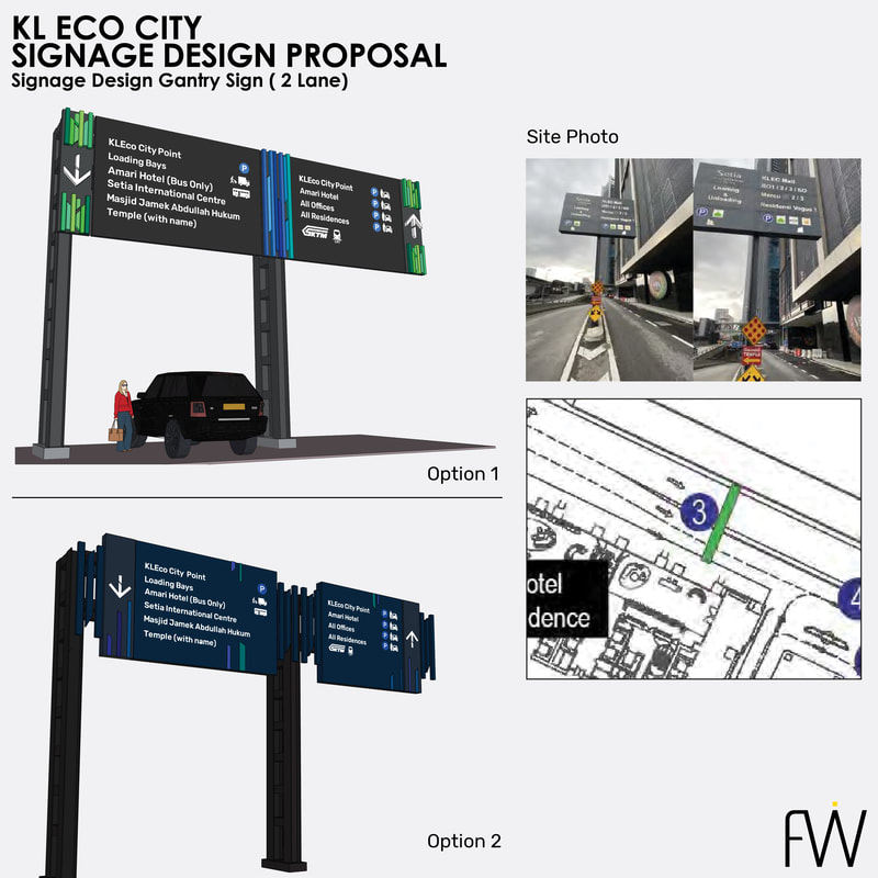
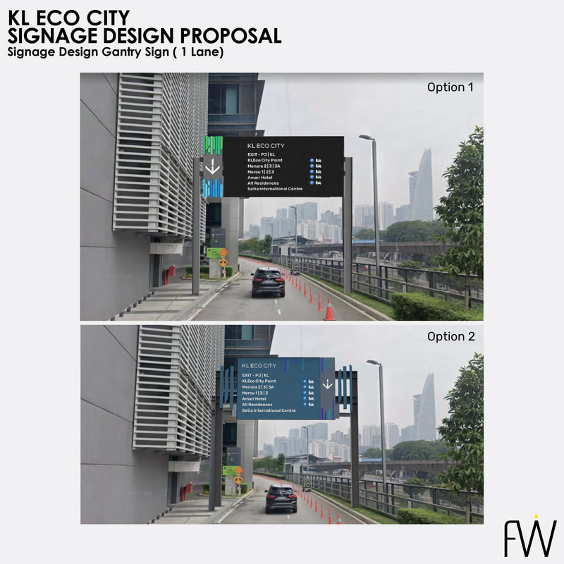
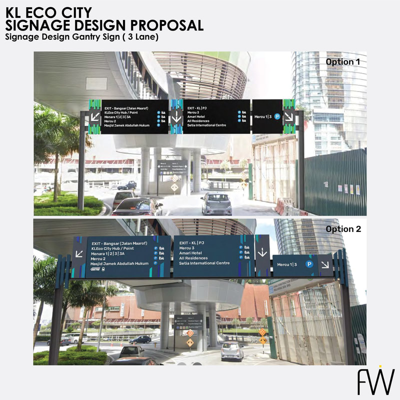
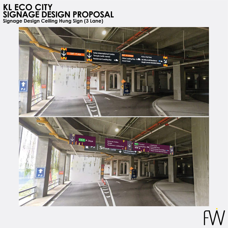
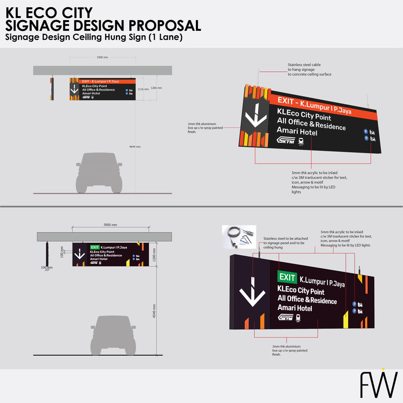
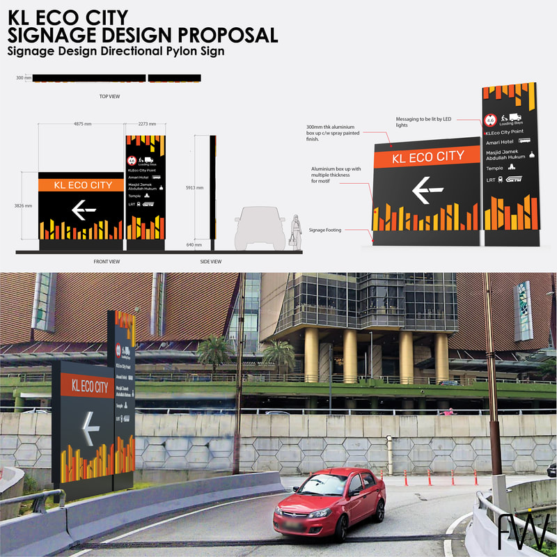
KL Eco City is a 25-acre mixed-use development with 3 residential towers, hotel / service apartment tower, 3 corporate towers, 12 boutique office blocks, a retail mall, a mosque & a combined LRT / KTM station, developed in stages since 2011. As the development project nears its completion, vehicular traffic wayfinding increasing became more convoluted & frustrating to users within the area. FW’s task was to study & audit the existing vehicular traffic circulation wayfinding system circumnavigating the whole development area & propose a workable wayfinding system that would alleviate the situation. |
CHALLENGE
Convoluted & confusing pre-existing traffic routes. SOLUTION This was a very challenging project from the get-go, which we embraced with open-arms. We conducted a thorough study of the vehicular traffic flow & behavioral traits of users in the area, & expanding our scope to include public roads leading to various ingress & egress points of KLEC. Our audit & resulting proposal included engagement-distance studies, establishment of information hierarchies, removal, relocation, retrofitting & upgrading of existing signs as well as placement of new signs at key & strategic locations. |
SOLUTION (cont.)
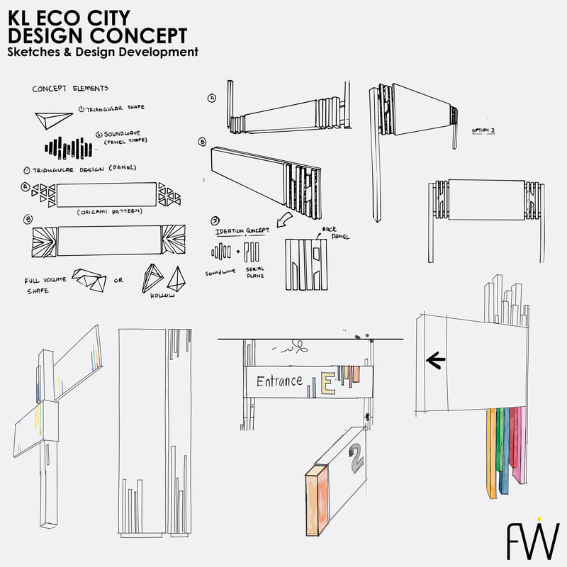
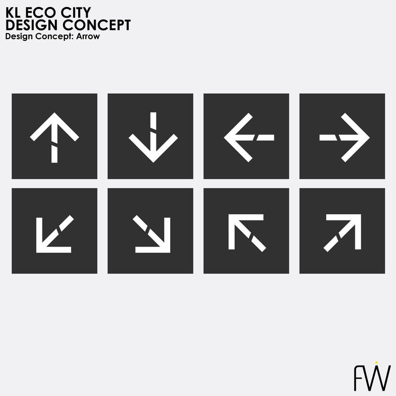
We also proposed, to a limited extent, certain improvements for pedestrian traffic wayfinding, which took into consideration KLEC being directly linked with an LRT as well as a KTM station. While KLEC was at the same time pursuing a potential rebranding route, practical design solution options for a new wayfinding system, including road marking treatments, were proposed. Unfortunately, this project was put on-hold given undisclosed reasons. |
copyright@fusionwerks2019


